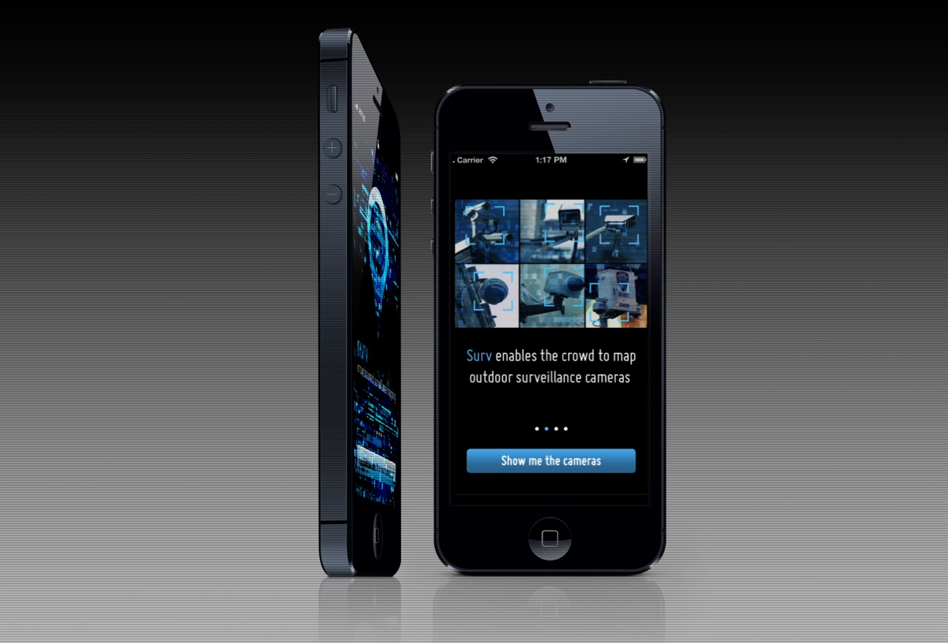
Surv
Product: Mobile App / ServicesRole: Product Design + Software Development
Date: 2012-13
Description: Surv was a startup venture that created the back-end services and front-end mobile app to map public surveillance cameras. Using the power of crowd, the geolocations and details of the cameras could be mapped in any city in the world. The ultimate goal of Surv was to offer on demand information to the public by analyzing surveillance footage in the cloud.
Challenges
- Introducing a completely new concept and interface to users
- Messaging to explain the purpose and usefulness
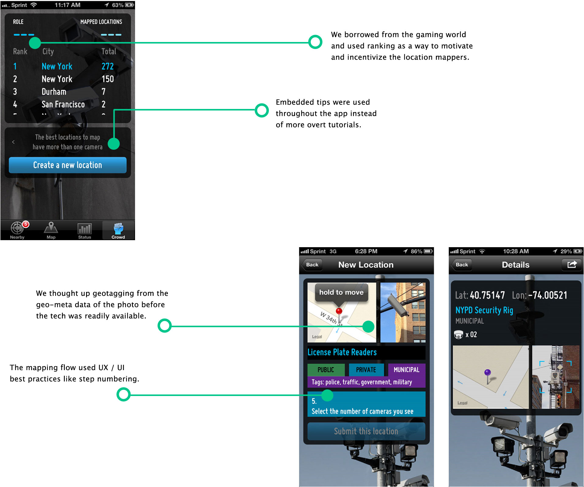
- Make the complex task of mapping easy, intuitive and fun
Messaging
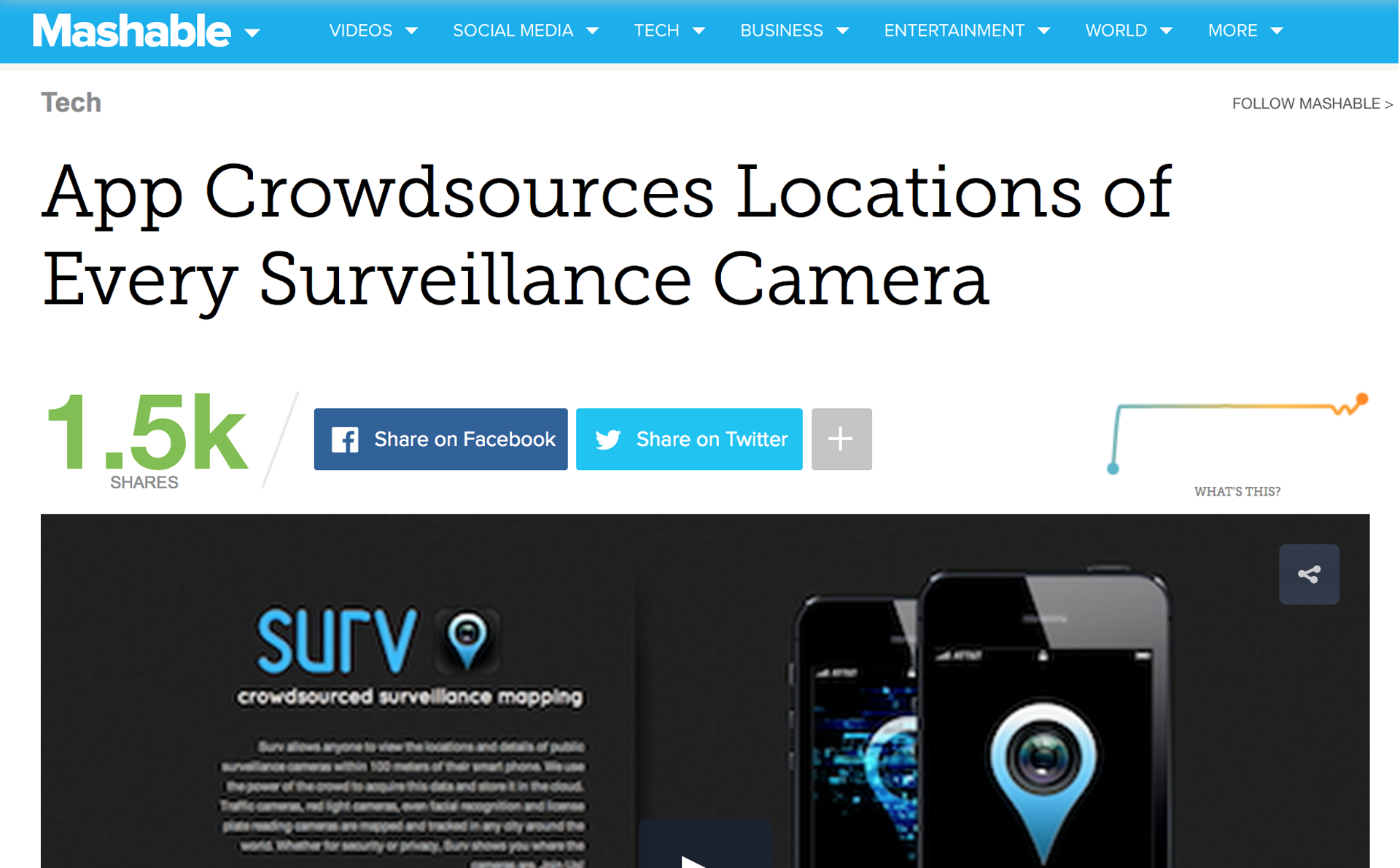
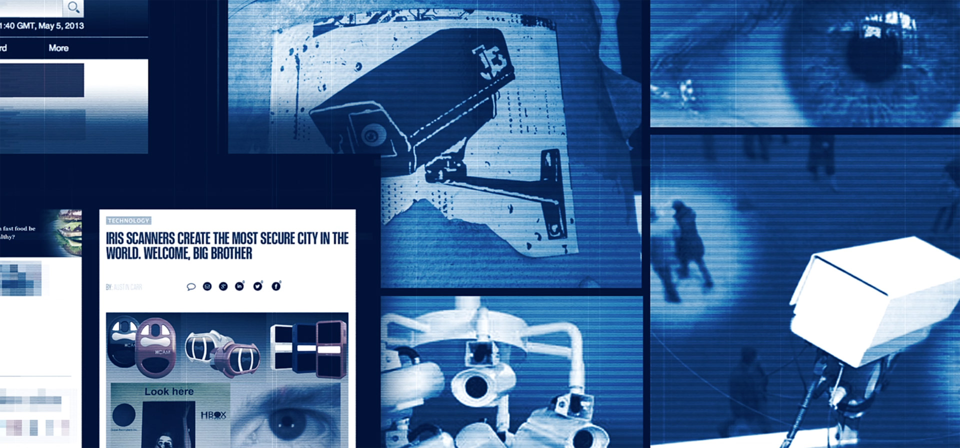
The messaging around the concept and idea of Surv was that it was a tool for security and privacy. Surv was introduced at a time when there was wide spread public discourse on the need to balance public surveillance with concerns of government abuse encroaching on privacy rights.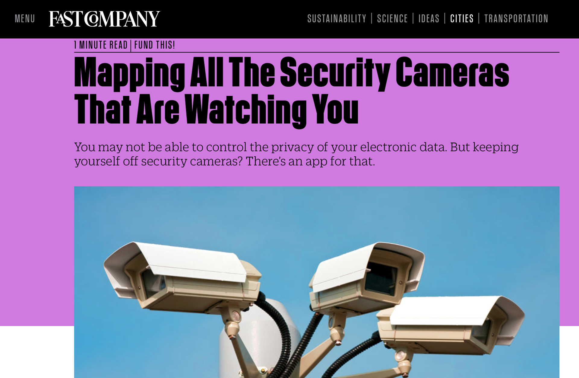
The Experience
Surv literally borrowed from the world of video games and spy thrillers. Though the greater purpose was to enable and empower the public we realized that making the experience too serious would be counter productive.
In addition to the concept, the design of the app was also inspired by games and movies. Back then apps featured heavily customized interfaces to give them a unique look and feel.
The Product
Surv was initially designed for the iPhone 4 operating on iOS 6. The core features were to view camera locations and details in a user's immediate proximity. Surv was essentially a huge interactive map. Crowd users who registered were able to add camera locations and details using the built in mapping interface.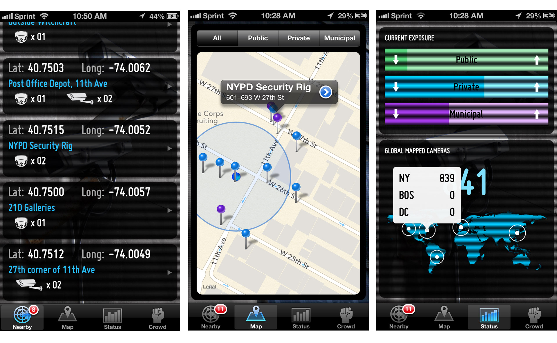
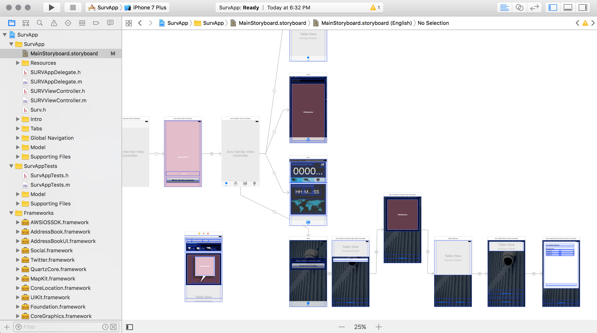
In true entrepreneurial fashion we overcame several of the limitations of the technology of the time to realize the vision. Xcode in particular was a very difficult environment to develop such an ambitious app in.
–